
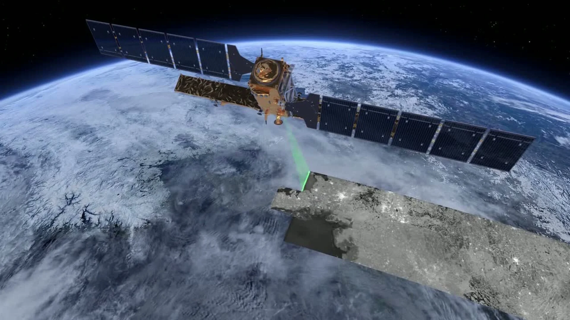
Earth Observation
The main data source to measure and monitor environmental projects on a global scale


We've developed custom analysis tools across a wide range of remote sensing datasets, including multi-spectral, hyper-spectral, and radar images which enable us to keep an eye on changes within ecosystems under different scales of time and weather.

Our modern and automatic computation systems are capable of deriving fast and detailed changes of the ecosystems, from hundreds of meters to a few centimeters of spatial resolution

Development of proprietary solution for: - Monitoring of deforestation - Mapping and monitoring of forest biomass, carbon stock, and biodiversity - Mapping of ecosystem services - Measuring and monitoring of impacts of projects on forest conservation - Monitoring of long-term land use changes and measuring impacts on natural ecosystems - Linkage between forest conservation and changes in local livelihoods

We deploy both machine learning (ML) and deep learning (DL) in our workflows for measuring and monitoring. The capability learning of non-linear relationships, in diverse environments, make ML and DL essential components in our remote-sensing-based systems. Accuracy, reliability, and rationale are all obtained with the implementation of ML and DL during the process of mapping and detection of ecosystem dynamics.

Automation computation
We've created distinct frameworks to automate the process of retrieving and analyzing earth observation (EO) data; estimating of bio-physical parameters in different ecosystems; and ingesting / delivering 'big data' for an on-demand requirement.